Table of Contents
Weather forecasting “TomorrowIO radar” is vital for many sectors and activities, from agriculture and aviation to disaster management and tourism. However, it is also a challenging task that requires sophisticated hardware and software to collect and analyze vast amounts of data from the atmosphere.
Traditionally, weather forecasting has relied on large and expensive infrastructure, such as radar networks and satellites, that can measure various weather parameters, such as temperature, humidity, wind, and precipitation.
“TomorrowIO radar” Ka-Band Satellites
One of the most advanced systems in this field is NASA’s Global Precipitation Measurement (GPM) satellite, which was launched in 2014 and weighs about 3,850 kilograms. The GPM satellite uses two radar bands, Ka (26-40 GHz) and Ku (12-18 GHz), to detect and estimate the amount and type of precipitation around the world.
However, a new player in the weather tech industry, TomorrowIO radar, has recently shown that it can achieve comparable or even better results with much smaller and cheaper satellites that use only one radar band, Ka.
TomorrowIO radar, formerly known as ClimaCell, is a company that aims to provide real-time precipitation data anywhere in the world, using a combination of space-based and ground-based sensors, machine learning, and cloud computing.
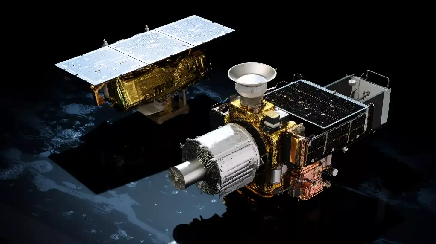
The company launched its first two radar satellites, Tomorrow R1 and R2, in April and June of 2023, respectively. Each satellite weighs only 85 kilograms and uses the Ka-band exclusively. After several months of testing and calibration, the company has released the results of its first experiments, which compare the performance of its satellites with NASA’s GPM satellite and ground-based radar systems.
Machine Learning in Precipitation Monitoring
According to the company, its satellites can produce accurate and precise predictions and observations of precipitation, even in cases where the Ka-band signal is completely attenuated by heavy rain or snow. This is possible because of a machine learning algorithm that acts as two instruments in one.
The algorithm was trained on data from both of the GPM’s radars, but it can infer the full precipitation profile from just the Ka-band observations, by learning the complex relationship between the reflectivity profile shape and precipitation.
The company claims that its approach is not only more cost-effective and scalable but also more resilient and adaptable to changing weather patterns, especially as the climate changes. The company’s goal is to have a network of satellites that can provide this level of detailed prediction and analysis globally and to make the data available for various applications and users.
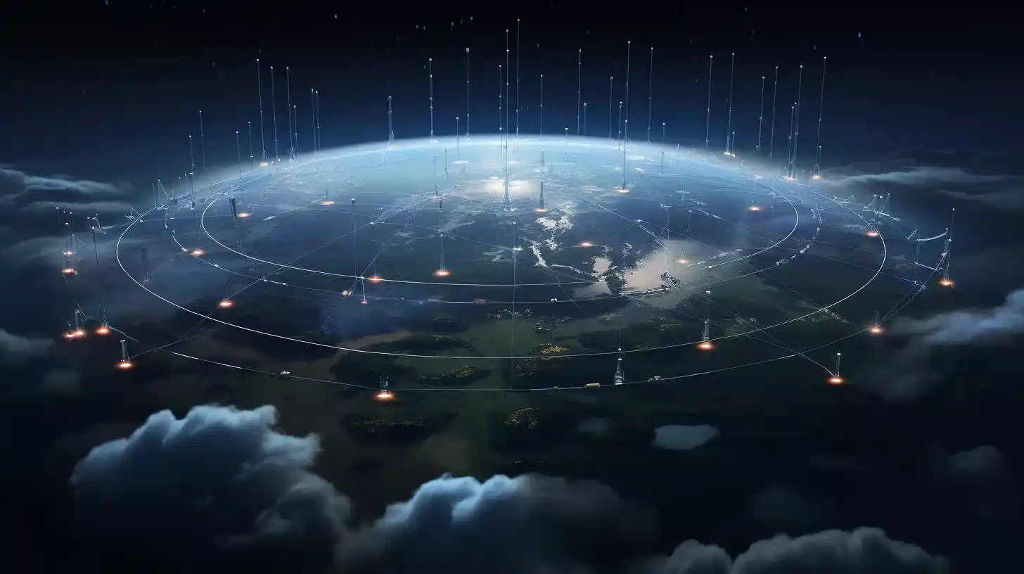
The company plans to launch eight more production satellites, each weighing around 300 kilograms, shortly.
Space Tech and AI Transforming Forecasting
TomorrowIO radar Chief Weather Officer, Arun Chowla, said: “We are working on providing real-time precipitation data anywhere in the world, which we believe is a game changer in the field of weather forecasting. In that respect, we are working on accuracy, global availability, and latency (measured as the time between the signal being captured by the satellite and the data being available for ingesting into products).”
The company also intends to use its orbital radar imagery to train its own and other machine-learning systems, and to improve its weather models and products. To do that, it will need to collect more data, and it plans to accelerate its satellite launches this year.
TomorrowIO radar satellites are a remarkable example of how space technology and artificial intelligence can revolutionize weather forecasting and analysis, and potentially benefit millions of people and businesses around the world.
Pathfinder satellites are equipped with state-of-the-art radar technology, which is currently in full operation called TomorrowIO radar. This advanced radar system allows us to achieve unmatched global coverage of precipitation. Soon, they plan to deploy more radar satellites and incorporate microwave sounders into their system.
These enhancements will enable us to gather even more precise measurements of precipitation, crucial atmospheric temperature profiles, and water vapor profiles. As a result, their weather forecasting system will continue to push the boundaries of innovation, providing invaluable data on precipitation and ensuring accurate predictions.