Table of Contents
Harnessing AI for Land Mapping: Addressing the Escalating Threat of Wildfires
As the planet continues to warm due to human-caused climate change, the devastating impact of wildfires has surged in tandem. According to the National Integrated Drought Information System, the extent of forest area consumed by wildfires soared by a staggering 320% from 1996 to 2021.
This alarming trend underscores the urgent need for innovative solutions to mitigate the escalating risks posed by wildfires. In this context, leveraging AI for land mapping emerges as a critical strategy. By harnessing the power of artificial intelligence, we can gain invaluable insights into the dynamics of land cover, vegetation health, and fire risk hotspots.
This data-driven approach enables proactive measures to be taken, from early detection and monitoring of potential wildfire outbreaks to the implementation of targeted land management strategies aimed at reducing vulnerability and enhancing resilience in fire-prone areas.
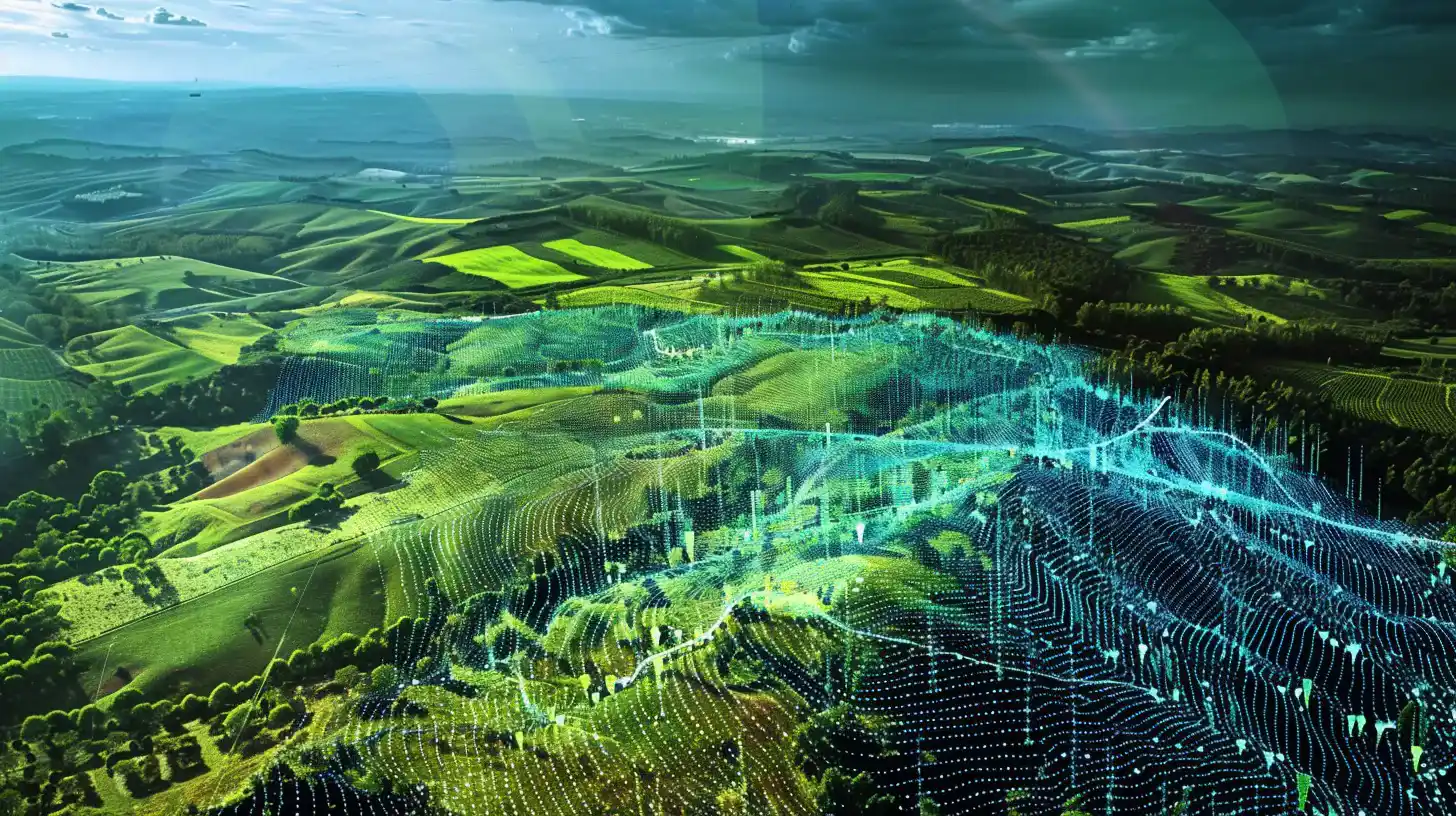
Bridging the Gap: Vibrant Planet’s Adaptive Approach to Climate Resilience
While the development of technologies to combat climate change would be ideal, the sheer scale and complexity of the problem necessitate adaptive strategies in the near term. Vibrant Planet emerges as a beacon of hope, offering a transformative solution that harnesses the power of AI for land mapping to enhance climate resilience.
By digitizing AI for land mapping processes and leveraging AI for land mapping algorithms, Vibrant Planet empowers its users—ranging from fire departments to government agencies—to proactively manage land and prepare for potential climate-related incidents, such as wildfires.
Empowering Decision-Making: From Analog to Digital Transformation
In a recent appearance on TechCrunch’s Found podcast, Vibrant Planet’s founder and CEO, Allison Wolff, highlighted the critical role of proper land management in ensuring food security, human safety, and the preservation of biodiversity and natural resources.
However, she noted that the industry remains largely entrenched in outdated practices, relying on cumbersome paper maps that often lack accuracy. This analog approach hampers the ability to effectively plan for and respond to climate disasters or events.
A Digital Revolution: Enabling Real-Time Collaboration and Planning
Wolff emphasized how Vibrant Planet’s innovative platform addresses this challenge by transitioning AI for land mapping processes online and harnessing AI for land mapping capabilities to provide users with real-time insights into potential disasters and events.
By facilitating collaborative decision-making through spatially overlapped plans, the platform enables diverse stakeholders, including Indigenous tribes, conservationists, and fire chiefs, to share knowledge and expertise.
This collaborative approach fosters the development of holistic land management solutions that prioritize the resilience of ecosystems while addressing the needs of all involved parties.
Testing and Iterating: Optimizing Land Management Strategies
One of the key features of Vibrant Planet’s platform is its ability to simulate and evaluate different land management treatments, such as controlled burns or vegetation removal, to assess their impact on resilience. This data-driven approach empowers stakeholders to identify the most effective strategies for enhancing land resilience, ultimately fostering more sustainable and adaptive land management practices.
Embracing Urgency: The Mission of Vibrant Planet
In describing Vibrant Planet’s overarching mission, Wolff emphasized the urgent need for action in the face of mounting environmental challenges. As she explained, the platform is dedicated to creating a “common operating picture” for wildfire resilience and nature resilience, drawing inspiration from military and firefighting terminology. This sense of urgency underscores the critical importance of coordinated decision-making in natural resource management and wildfire resilience efforts.
In conclusion, Vibrant Planet’s innovative use of AI for land mapping represents a paradigm shift in how we approach climate resilience and environmental stewardship. By harnessing the power of technology to digitize land management processes, facilitate collaboration, and optimize strategies for resilience, Vibrant Planet is pioneering a path toward a more sustainable and resilient future for our planet.